
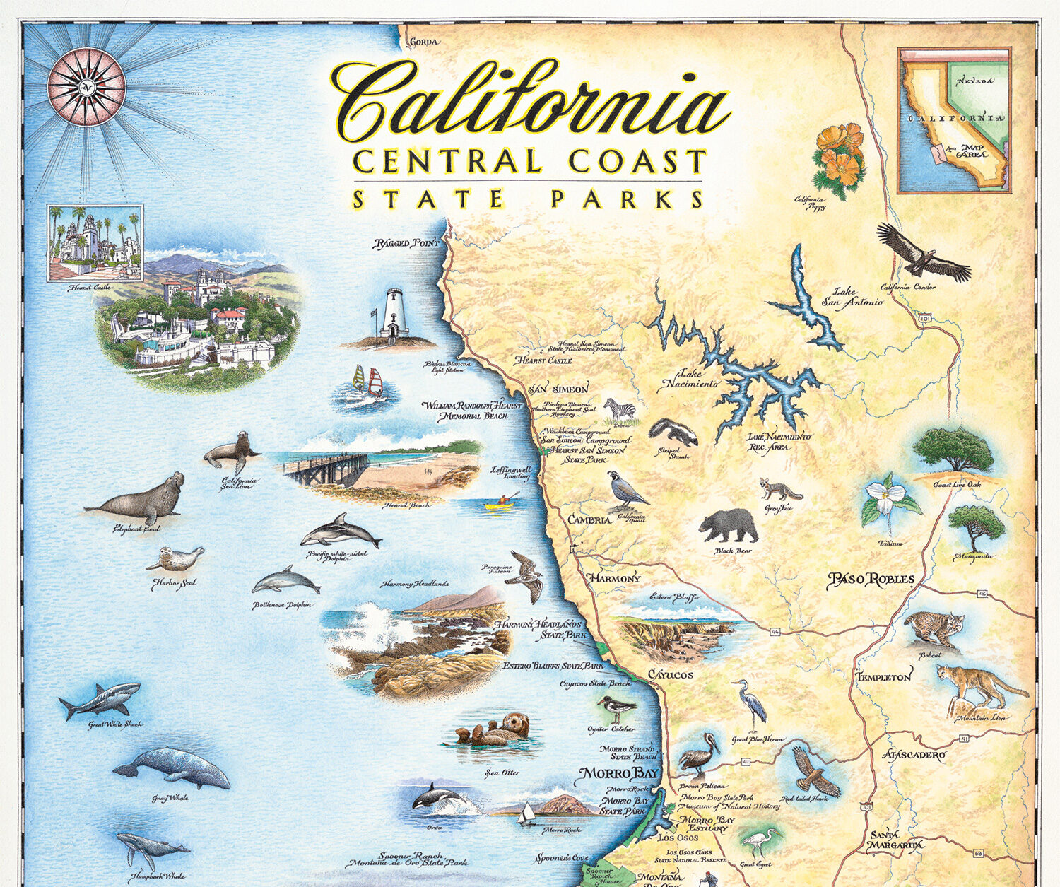
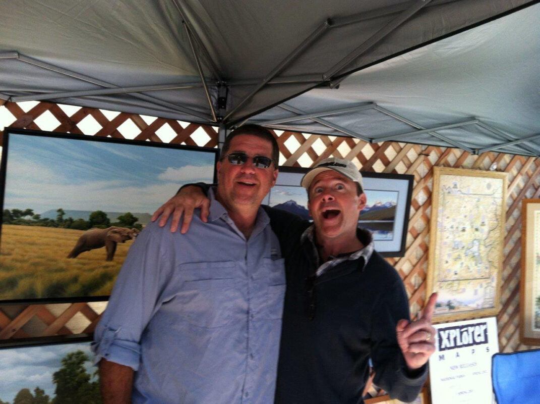
When I think about some of the items I am drawn to while shopping, I find myself in awe and appreciation of antique maps and globes. So of course when I saw the artwork of Xplorer Maps at a trade show in Las Vegas, I knew this was a company I truly wanted to work with. Not only was it a USA family run business, but Greg and Chris put so much thought into their products, sustainability and quality. We are thrilled to be able to offer our Central Coast State Park community a beautiful hand drawn map that highlights the wonderful parks and wildlife found along our spectacular coastline.
Let’s hear the story of Xplorer Maps! How did you get started?
My brother Chris and I founded the company in 2012, but the story actually starts much earlier. Our parents often said that if we combined our strengths, we might make an interesting and formidable team!
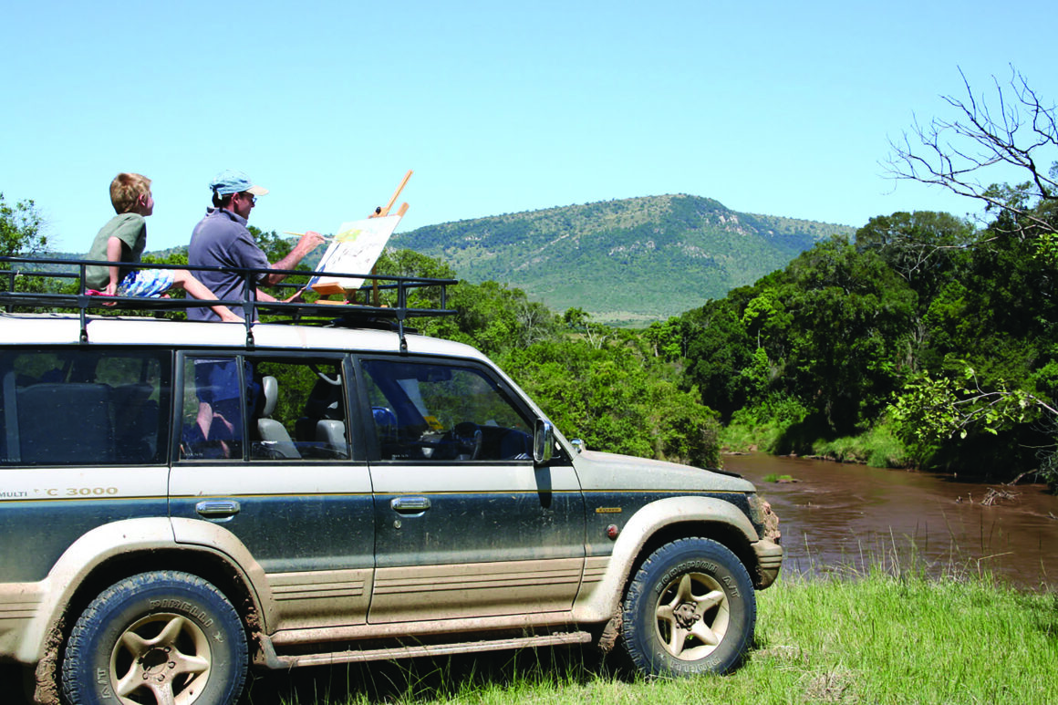
Chris has always been artistic and in the late nineties he rendered a series of hand-drawn maps of nine African countries. I admired these amazingly unique antiquarian-styled maps over the years from afar and was inspired by the sense of place and curiosity they gave me. The maps brought a sense of unknown places with new geography, history and culture in a cool, unique manner.
I approached Chris in 2010 about creating more hand-drawn maps, except this time focusing on my adopted home of Montana and two national parks that I visited regularly: Glacier and Yellowstone. All our national park maps are vetted by representatives of the National Parks Service for educational merit, cultural relevance, historical significance and geographic accuracy, before they can be produced. It took two years for those first maps to get approved and then we were off! We were encouraged by the positive response from parks and visitors, so we continued forward.
Xplorer Maps launched officially in 2012 with the featured maps mentioned above. I devoted myself full time to the new family business in 2014. We now have custom, original, hand-drawn maps of more than 50 destinations worldwide. We release five or six new maps each year and are booked out with new projects through 2021.
So you work with your brother… what is that like?
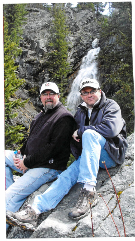
Chris and I work amazingly well together. We respect each other’s strengths and recognize areas where the “other brother” might have more insight and/or better perspective. We have learned to defer to those respective “wheelhouses” in order to maximize the process of collaboration.
I may be one of the world’s least artistic and creative folk but Chris appreciates my sense of business organization, vision, connections and entrepreneurial spirit. Thus far, our mum and dad were spot on: Chris and I are a great team and we love working together. Most importantly, the business brought us closer together and we have gained a new, deep appreciation for the power and importance of family. Our dad passed away a few years ago, but no doubt he would be proud of what Xplorer Maps has accomplished.
What was your vision for Xplorer Maps? How has it changed?
Originally we thought that our style and brand would appeal exclusively to tourists and travelers. This led the focus to aim toward rendering maps for national parks only.
Those elements certainly still hold true today, but the increased brand awareness and subsequent customer engagement dictated we “pivot.” We shifted our focus to other places, outside of national parks. Xplorer Maps is always on the lookout for special places to feature that fit the following criteria:
- Does the location capture a person’s unique sense of place?
- Do people have strong and passionate connections to this destination? And are there specific states where we feel “state pride” is exceptionally strong?
- Is our hand-drawn, “old world” style a “good fit” ARTISTICALLY for that particular destination?
- Will the market demographics respond positively to our work? For example, cities like Boston, San Francisco, New Orleans and Charleston are excellent areas for Xplorer Maps to feature. They are rich in history, culture and portray extremely interesting architecture and landscapes.
- Do Chris and I feel like we can interestingly and effectively “tell the story” and connect people to place?
- Are we providing something truly different and special?
- WILL IT SELL? Ultimately, this is our family business that we want to leave in a great place for the next generation. As such, we have to prioritize our time and resources.
What are your challenges and successes?
Our main challenge stems from physical distance: Chris living in Thailand and myself in Montana. Thankfully, we have fine-tuned the artistic and development process whereby it runs pretty smoothly. Despite the successful process, the thought of living and working in close proximity to each other is appealing. Not sure how, or when, that might happen, but it would be awesome!
Another “challenge” is simply the result of Xplorer Maps becoming a more visible, vetted and successful vendor for organizations and retail stores. We are bombarded constantly with requests for original hand-drawn maps of different states, countries, special places and everything in between. This makes for tough decisions about where we focus on next.
We also compete with hundreds of other vendors from coast to coast. Our intent is to be unique and high quality. We want to create a custom product that is engaging, interpretive and timeless.
Our biggest success is the awesome team we have assembled! I am most thankful every day for the team we are building. From the warehouse operations to our sales team to our IT and design people (now including our new media and marketing team members), Xplorer Maps is poised for strong and dynamic growth.
Our brand is growing and organizations are reaching out to us looking for that “home run” custom product that effectively and uniquely tells their story for their visitors. I just got off the phone with a group from Cape Cod that is super excited with the potential to educate and inspire people through our map collaboration.
We know you like to give back, tell us how Xplorer Maps gives back to its public lands and the environment in general. What sustainable practices do you use to help the environment?
We give back philanthropically via cash and in-kind donations. It is at the very heart of what we do and a huge part of our mission today! Xplorer Maps has donated more than $50,000 to partner organizations dedicated to the conservation, preservation and education regarding public lands since 2015. Additionally, we are members of 1% For The Planet and have donated more than twice that amount to other non-profits through donations of product, design and human bandwidth.
All our printing is locally sourced in Missoula, MT using eco-friendly, soy-based inks featuring certified alliances with sustainable practice suppliers. Every piece of cardboard that comes into our warehouse is reused and/or recycled. And we only partner with like-minded organizations.
Moving forward, we are committed to making one of our annual releases a collaborative partnership with a Montana organization which aligns itself well with public lands. Stay tuned for the announcement of our 2021 partnership.
What were some of your favorite aspects of doing the map for Central Coast State Parks?
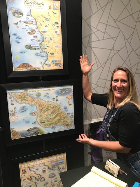
KRISTIN HOWLAND…..OF COURSE!!
Without question, working with Kristin Howland was absolutely wonderful! We worked with Kristin previously on a commissioned map for her former employer. This was the first time we had worked with the same person on two different projects!
This was also our first venture with a state park organization, which brought a different shape to the collaboration. The location and landscapes of California’s Central Coast are nothing short of spectacular. Chris also mentioned drawing numerous species that we otherwise would never have had the opportunity to feature. It’s an area I have not visited in about 10 years and the process has inspired me to get back down there to Xplore.
What new products can we hope to see from Xplorer Maps in the future?
We are excited to introduce Fleece Blankets and Canvas Totes available in early November. They will make great gifts for the Holidays! In early Spring of 2021 we will introduce our new line of apparel: socks, bandana Buff/scarves, hoodies, and long and short sleeve tee styles. And we will also bring you gift wrap and playing cards! Lastly, by the end of 2021 we will have PUZZLES!
A big thanks to Greg, Chris, Kevin and the rest of the team at Xplorer Maps! It has been a pleasure to work with you and we love our beautiful map of the Central Coast State Parks!
XPLORER MAPS on sale! 25% off all Xplorer Maps products through September 2nd. Shop our online store here and use coupon code XPLORER25!