

King Tides—what are they? Where did the name come from? When do they happen? Here are some of the answers.
King Tides got their name in Australia, where they have really high tides certain times of the year. What’s higher than the Queen? The King, naturally! So, some believe that is where the name came from. In Australia, the highest tides are in March and April and can reach up to 35+ feet high. The only higher tides are in the Bay of Fundy, Nova Scotia.
Most people know that the moon affects the tides, due to the pull of gravity, and the sun has a secondary pull on gravity, even though it is farther away from the earth. In the Northern Hemisphere, the moon is at its closest approach to the earth in the winter, so the gravity pull is even stronger. When the moon and sun align, the gravity pull is the greatest, causing the highest and lowest tides. You can find a lot more technical information about the Earth, Moon and Sun orbits on the internet if you are interested.
King tides off the Central Coast of California occur in November, December and January of this year. Sometimes they continue into February. This year they occur November 15, 16; December 13,14,15; and January 11,12. On those dates, the highest tides will be +6.8 or +6.9 feet and the lowest tides will be (minus) -1.3 to (minus) -1.7 feet. We have seen tides as high as +7.0 feet and as low as -2.0 feet, but that is unusual. The California Coastal Commission sponsors the King Tide Project and you can find this information at https://www.coastal.ca.gov/kingtides/
One of the most important things to know about king tides is they are an advance preview of what will be the new normal for tides as climate change continues and then king tides will be even higher and lower. That means that more and more roads and buildings close to the water will be in danger of tidal inundation. Think about New York City or New Orleans that are right on the water. Or Holland, where the dikes are already in place to hold back water now. Or even Venice and the canals open to the sea. Closer to home, think about State Park Road below the Museum, the low-lying houses around Morro Bay, Los Osos, and Cayucos, or the salt marsh where it comes up against South Bay Boulevard.
The pictures shown here were taken last year during King Tide season. If you get a chance during the dates above, go out and take a look. You will be amazed at the difference from high to low tide in the various areas.
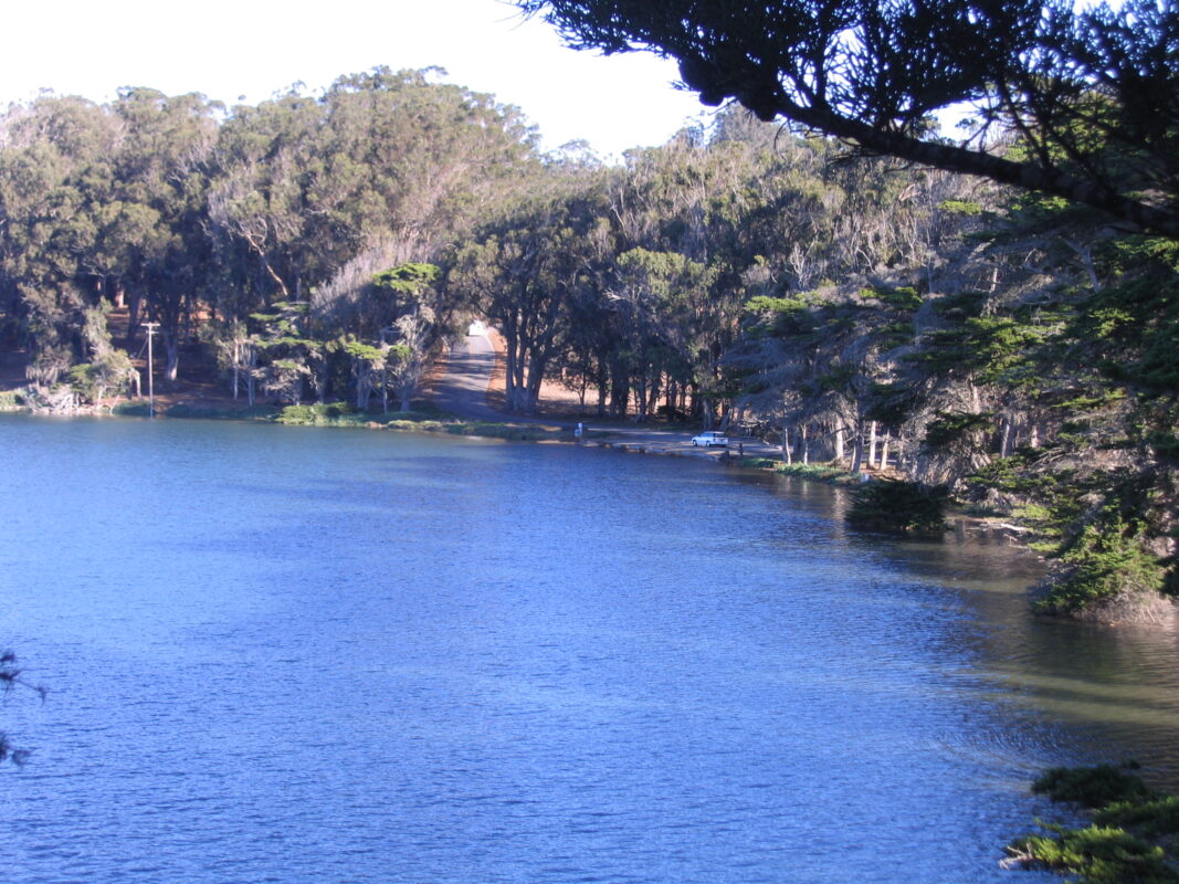
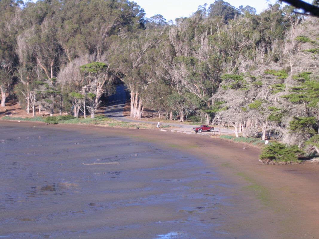
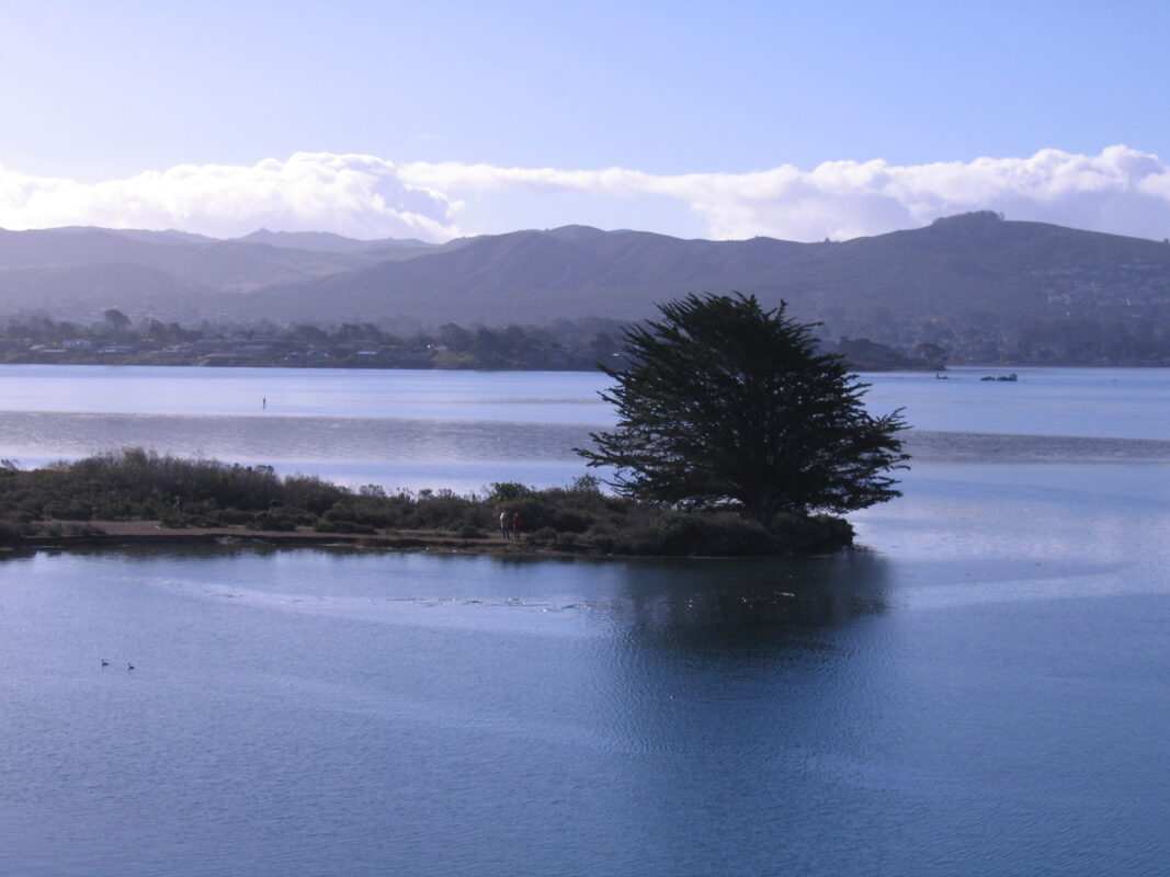
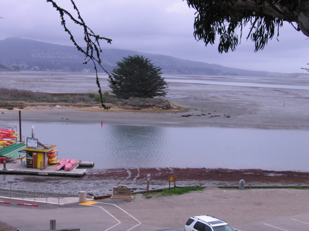
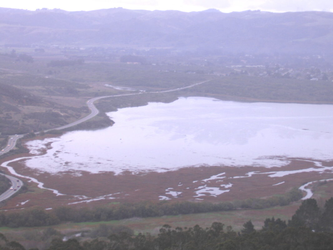
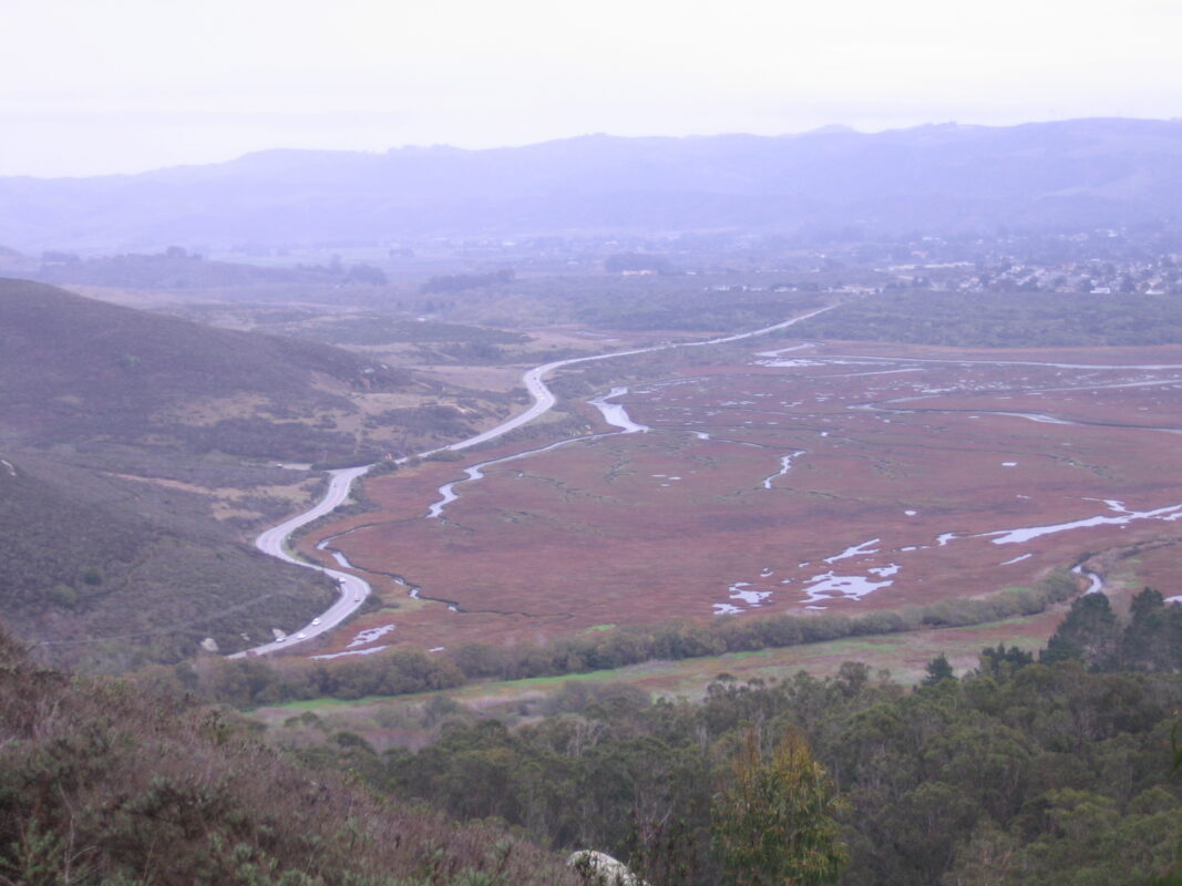
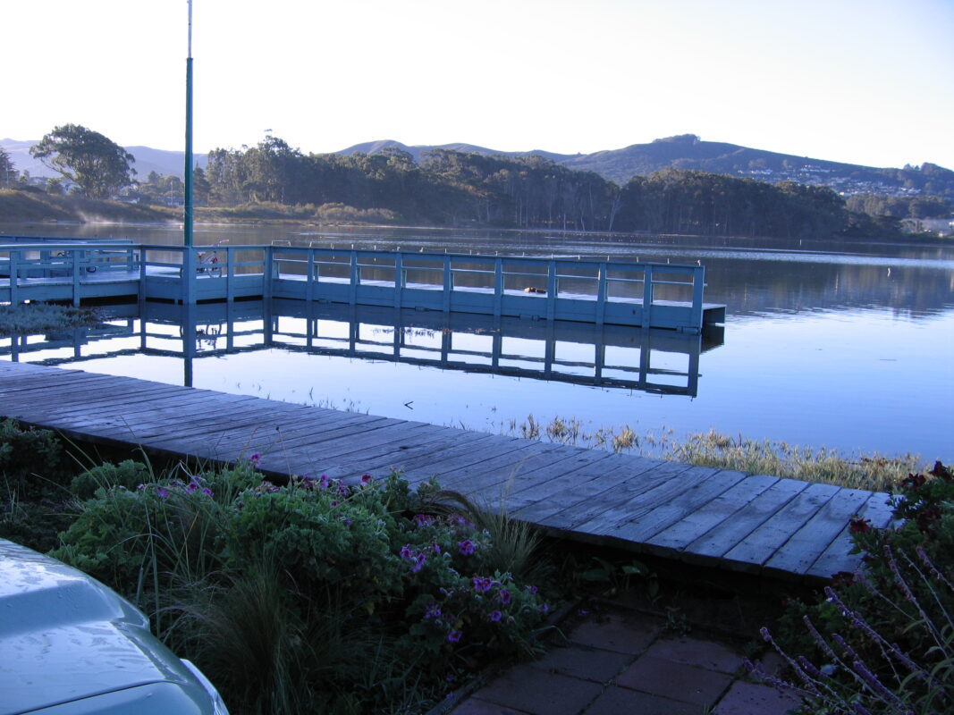
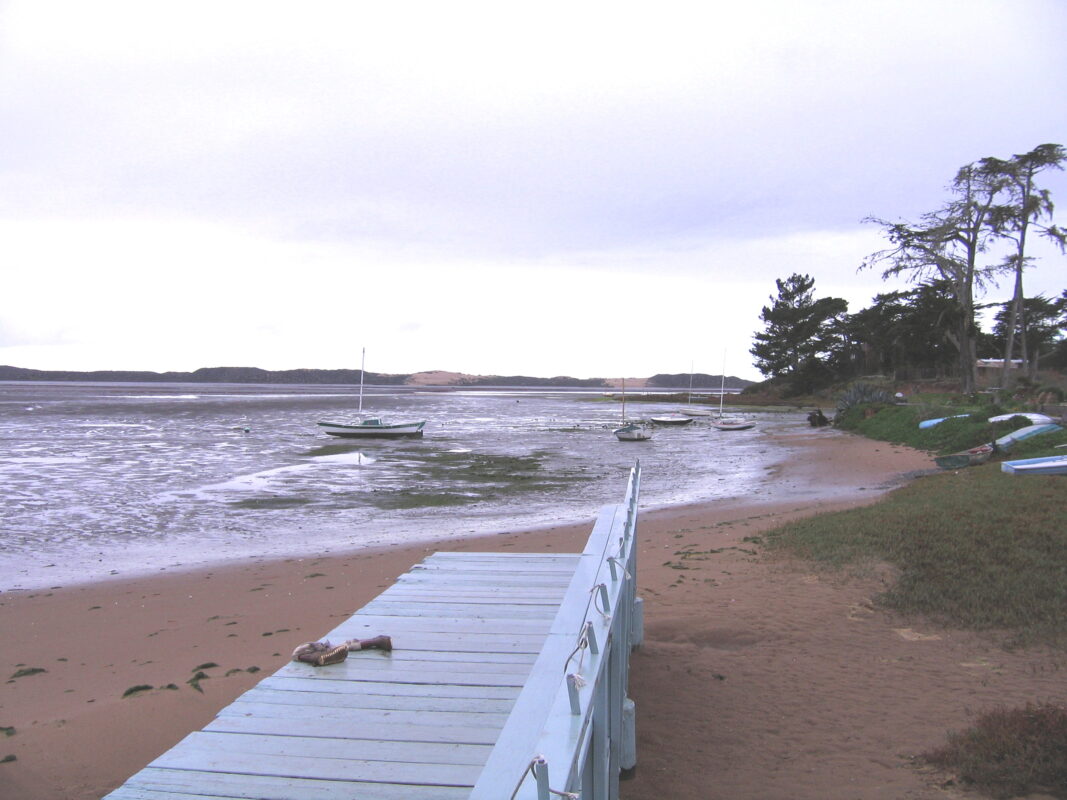
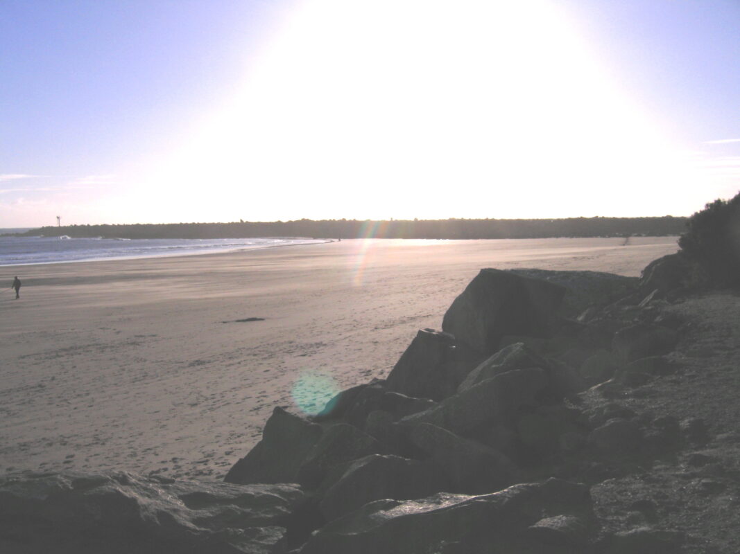
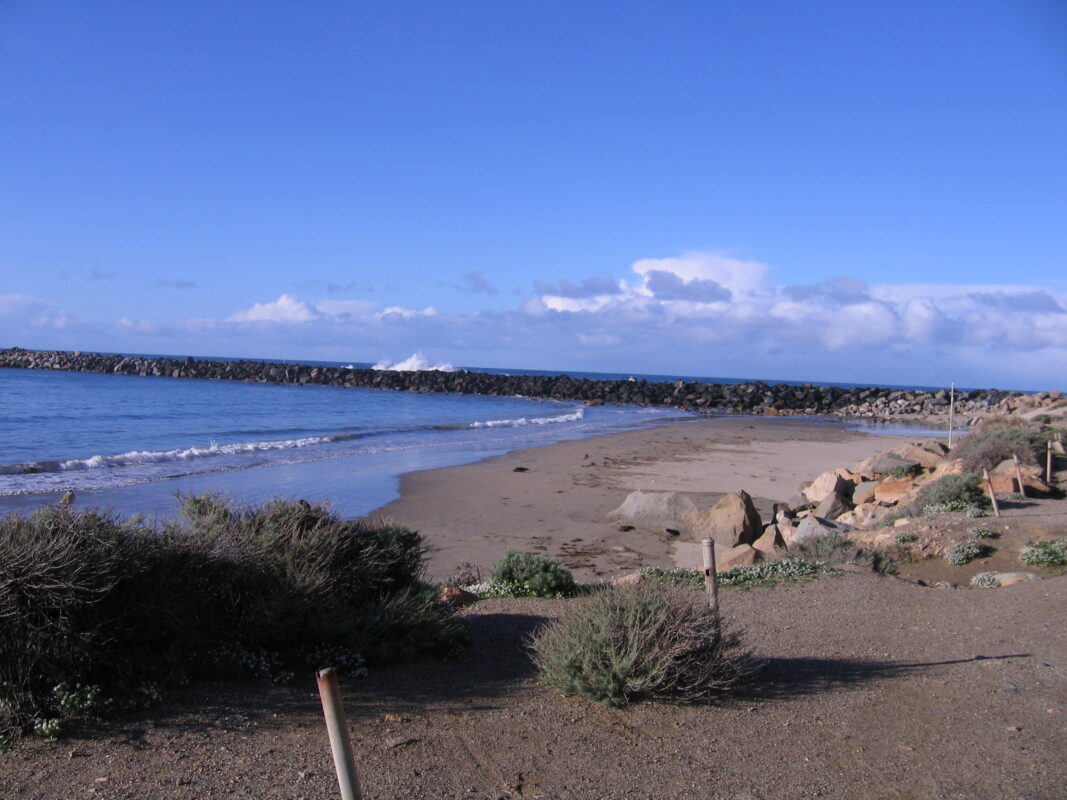
All photographs courtesy of Faylla Chapman